Where we actually have data
This page is generated straight from the jurisdiction registry the product runs on, so it cannot say we cover somewhere we do not.
We read 29 jurisdictions and nowhere else. We do not cover all of San Diego County, and "north" and "south" on this site mean the two halves of the City of San Diego, split at I-8 — not North County and South County. In Orange County we read Anaheim, Huntington Beach, Brea, Aliso Viejo, Laguna Hills, Laguna Niguel, Lake Forest, Costa Mesa, Fullerton, La Habra, Tustin, Newport Beach, Westminster and Yorba Linda — not all of Orange County. If your work is somewhere not named on this page, the feed has nothing for you today; please do not subscribe. We would rather lose the $39 than refund it.
What you get, and where you get it.
Two kinds of city publish two different things, so we make two different claims. In 5 places we can tell you an individual pulled the permit at their own property. In the rest, you get every new permit filed.
Tier A · Owner-pulled
Filtered to jobs an individual filed at their own property, with no contractor named on the permit.
City of San Diego, Coronado, Vista, Oceanside and Unincorporated San Diego County — the only jurisdictions that publish who pulled the permit, so they are the only places this claim is available at any price.
Tier B · All new permits
Every new permit filed in the city. These cities do not publish who pulled the permit, so nothing here is ever described as owner-pulled — you get the fresh filing and the address, and you find out who is on it yourself.
Carlsbad, Santee, El Cajon, Imperial Beach, Chula Vista, Del Mar, Solana Beach, Encinitas, Escondido, San Marcos, Huntington Beach, Brea, Aliso Viejo, Laguna Hills, Laguna Niguel, Lake Forest, Costa Mesa, Fullerton, La Habra, Tustin, Newport Beach, Westminster and Yorba Linda. Most are read straight from their own permit portal — they publish no open-data feed at all, which is why most permit-data products cannot see them.
Tier A · Owner-builder flag, no name
The city records whether the owner is the builder but never names the owner, so the most a lead here can say is that the city recorded the owner as the builder and no contractor is named on the permit. Nothing here is ever called "an individual". Anaheim.
Every place we read, and what it produced last week.
7 areas, 29 jurisdictions, and the label each one carries. The counts are real counts from the last 7 days, measured 2026-09-16 — not a projection and not a catchment estimate.
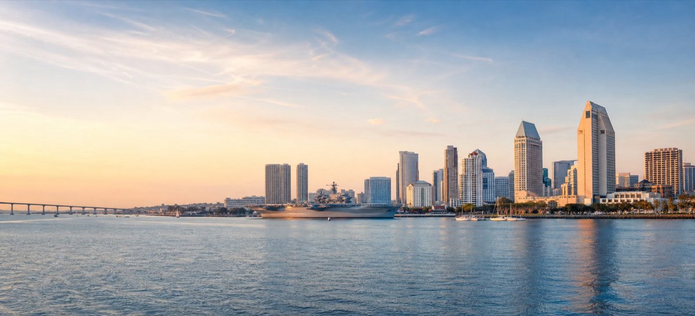
North San Diego
City of San Diego, north of I-8. The permit holder is published here, so the feed is filtered to an individual at their own property with no contractor named on the permit. The busiest half of the feed — 2 electrical and 4 remodel job sites in the last 7 days.
| Jurisdiction | What we can claim | Permits · last 7 days |
|---|---|---|
| City of San Diego | Tier A · Owner-pulled | 7 |

South San Diego
City of San Diego, I-8 and south. The permit holder is published here, so the feed is filtered to an individual at their own property with no contractor named on the permit. 3 electrical and 4 remodel job sites in the last 7 days.
| Jurisdiction | What we can claim | Permits · last 7 days |
|---|---|---|
| City of San Diego | Tier A · Owner-pulled | 6 |
East County
East County is a place on the map, not a coverage claim. Santee and El Cajon are the only part of it we read. The permit holder is not published here, so nothing in this band is ever described as owner-pulled — you get the fresh filing and the address, and you find out who is on it yourself.
| Jurisdiction | What we can claim | Permits · last 7 days |
|---|---|---|
| Santee | Tier B · All new permits | 8 |
| El Cajon | Tier B · All new permits | 24 |
Screened, not live: La Mesa. It is not in the feed and is not sold.
North County
North County is a place on the map, not a coverage claim. Carlsbad, Vista, Oceanside, Del Mar, Solana Beach, Encinitas, Escondido and San Marcos are the only part of it we read. Not every jurisdiction here publishes the permit holder, so they carry different labels — the table is the exact version.
| Jurisdiction | What we can claim | Permits · last 7 days |
|---|---|---|
| Carlsbad | Tier B · All new permits | 110 |
| Vista | Tier A · Owner-pulled | 0 |
| Oceanside | Tier A · Owner-pulled | 3 |
| Del Mar | Tier B · All new permits | 6 |
| Solana Beach | Tier B · All new permits | 9 |
| Encinitas | Tier B · All new permits | 5 |
| Escondido | Tier B · All new permits | 49 issued in the week ending 2026-07-31 — Escondido publishes its permit reports about a month later |
| San Marcos | Tier B · All new permits | 40 issued in the 7 days ending 2026-07-31, from the city's monthly permit report |
South Bay
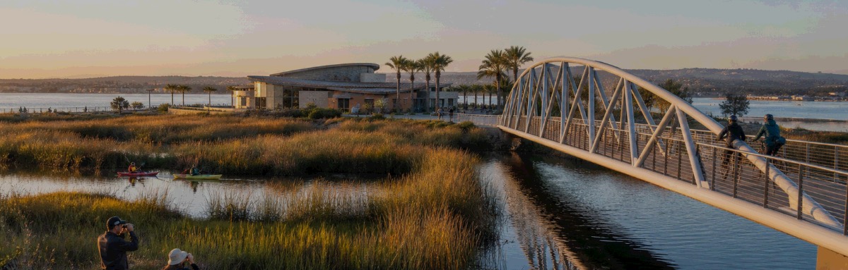
South Bay is a place on the map, not a coverage claim. Imperial Beach, Chula Vista and Coronado are the only part of it we read. Not every jurisdiction here publishes the permit holder, so they carry different labels — the table is the exact version. Read from each city's own permit records — live portals where they exist, Coronado from its monthly permit report. None publishes an open-data feed, which is why most permit-data products cannot see them.
| Jurisdiction | What we can claim | Permits · last 7 days |
|---|---|---|
| Imperial Beach | Tier B · All new permits | 13 |
| Chula Vista | Tier B · All new permits | 114 |
| Coronado | Tier A · Owner-pulled | 0 issued in the 7 days ending 2026-07-31, from the city's monthly permit report |
Unincorporated county
Unincorporated county is a place on the map, not a coverage claim. Unincorporated San Diego County is the only part of it we read. The permit holder is published here, so the feed is filtered to an individual at their own property with no contractor named on the permit. The backcountry — and one of only 5 jurisdictions we have found anywhere that publish who pulled the permit.
| Jurisdiction | What we can claim | Permits · last 7 days |
|---|---|---|
| Unincorporated San Diego County | Tier A · Owner-pulled | 25 |
Orange County
Anaheim, Huntington Beach, Brea + 11 more OC cities — the exact list is on /coverage. Not every jurisdiction here publishes the permit holder, so they carry different labels — the table is the exact version.
| Jurisdiction | What we can claim | Permits · last 7 days |
|---|---|---|
| Anaheim | Tier A · Owner-builder flag, no name | The city's permit layer is 41 days behind, so Anaheim is not quoted this week. |
| Huntington Beach | Tier B · All new permits | 186 |
| Brea | Tier B · All new permits | 35 |
| Aliso Viejo | Tier B · All new permits | 32 |
| Laguna Hills | Tier B · All new permits | 25 |
| Laguna Niguel | Tier B · All new permits | 57 |
| Lake Forest | Tier B · All new permits | 45 |
| Costa Mesa | Tier B · All new permits | 70 |
| Fullerton | Tier B · All new permits | 84 |
| La Habra | Tier B · All new permits | 25 |
| Tustin | Tier B · All new permits | 48 |
| Newport Beach | Tier B · All new permits | 83 |
| Westminster | Tier B · All new permits | 80 |
| Yorba Linda | Tier B · All new permits | 38 |
By trade, City of San Diego.
| Trade | North of I-8 | I-8 and south | Whole city | Sold? |
|---|---|---|---|---|
| Electrical | 2 | 3 | 5 | Yes |
| Remodel / GC | 4 | 4 | 8 | Yes |
| Plumbing | 1 | 2 | 3 | Yes |
| HVAC | 1 | 3 | 4 | Yes |
| Solar | 1 | 0 | 1 | Too thin to sell |
| Roofing | 2 | 2 | 4 | Too thin to sell |
Owner-pulled job sites in the last 7 days. Solar and roofing are not sold at any price — 1 and 4 a week citywide is not a product, and selling it would book a refund. The free sample pages for those trades stay up.
Screened and rejected, or not built yet.
| Jurisdiction | Platform | Status |
|---|---|---|
| La Mesa | maintstar | Runs MaintStar, not EnerGov — needs its own probe and possibly its own adapter. |
| City of San Jose | sanjose-csv | Measured 2026-08-21 on the live daily CSV (data.sanjoseca.gov "Last 30 days building permits", 2,411 rows): APPLICANT, OWNERNAME, parcel and address 100% populated, CONTRACTOR blank on 361. Through the adapter: 328 permits issued in 7 days, 30 of them owner-pulled by the applicant-matches-owner rule (30/30 on a dwelling, 29/30 with a parcel); 183 owner-pulled in 30 days. Not sold — San Jose is not a San Diego market, and it is listed here only so this page stays a complete account of the registry. |
| City of Riverside | riverside-csv | Screened 2026-08-21 with site/api/_riverside.js against the city's open-data Permit Activity Reports CSV (riversideca.gov/transparency/data, dataset 34): the whole permit history, 82,529 rows, 24.8 MB, ~6 s, no login. Columns include Contractor Name + phone and an Owner Name + Owner Phone pair that is EMPTY on every row ever published, so it is Tier B: nobody on the record. Measured LIVE through the adapter 2026-08-21 22:53 PT, 7 days: 86 job sites (issued Mon 08-17 to Fri 08-21), 72 residential, 70 name a contractor with a phone, 16 name nobody, 0 owner-pulled. The same file read over 08-14..08-21: 112 permits issued, 106 job sites, 21 with no contractor. Parcel is "None" and Location is blank on every 2026 row, so no enrichment key and no coordinates. The export answers HTTP 429 to a quick second download (adapter retries once). Not sold. |
| City of Raleigh | raleigh-arcgis | Screened 2026-08-21 on the city ArcGIS Online Building_Permits layer (183,681 rows, daily, Open Raleigh Data Policy). Tier B: the record names the contractor and the parcel owner, not the applicant; no owner-builder flag. Measured through site/api/_raleigh.js, 7 days: 74 permits issued, 62 residential, 74 with a parcel; the contractor of record is named on 68 of 74, with an e-mail on 66 and a telephone on 63; the licence column exists and is empty on every row. Building permits only — the city publishes no plumbing/electrical/mechanical permits in this layer. Detail in PERMIT-FEED.md §10. |
| Nashville / Davidson County | nashville-arcgis | Screened 2026-08-21. The Socrata dataset the research note named is gone — data.nashville.gov is an ArcGIS Hub site now, and the same Building Permits Issued and Trade Permits layers sit on services2.arcgis.com, updated daily, no key. Measured over 30 days: 749 building permits, address/parcel/lat-lng 100% populated; Contact is the contractor and 48 rows carry the explicit "SELF CONTRACTOR RESIDENTIAL" marker. Trade layer 2,460 rows, 47% with no address. TIER B because no layer names the applicant or owner, so no lead can be shown as an individual at one property — the self-contractor marker is carried as ownerBuilder:"yes" for the day that rule is revisited. Not sold. |
| City of Austin | socrata | Screened 2026-08-21 on data.austintexas.gov "Issued Construction Permits" (3syk-w9eu), daily, current to the day, no key. 54,512 permits in the trailing year, 39,743 residential. Contractor company/name/phone/trade on ~93% of rows; NO owner field and no owner-builder marker on any row, so it cannot be called owner-pulled — Tier B. The person-as-contractor heuristic matched 3 rows in the 7-day window and all three carry a licensed trade label, so it is not a homeowner signal. Harvest source for contractors of record, not a sold feed. Measured volume is recorded in PERMIT-FEED.md §10. |
The screening test before any city is added: does the public record name who pulled the permit? The answer decides the tier, and the tier decides what we are allowed to say. Every figure on this page is a real count from the last 7 days, measured 2026-09-16 — precomputed and stored, so this page does not call a permit API when you load it. Numbers move week to week; we publish the ones we measured, never a projection.
Then start with the free samples.
Three real permits every Monday, in your trade, with permit numbers you can check against the City before you spend a dollar.
Try it free — 3 jobs by email, no card
The same owner-pulled permits paying subscribers get, three per week, free. No card, no call, unsubscribe in one click. See the quality, then decide.